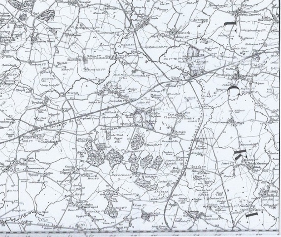
Maps
When maps were first drawn only waterways were included. Waterways were most important for transport, drinking etc. As time went on map makers were asked by Kings and Lords of the Manor to include ‘roads’ and tracks so they knew how to access people to fight for them.
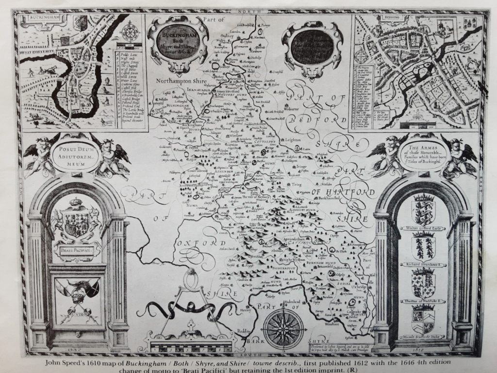
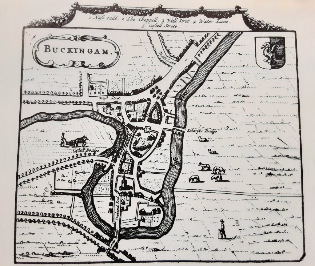
Map of Buckingham 1610
By John Speed
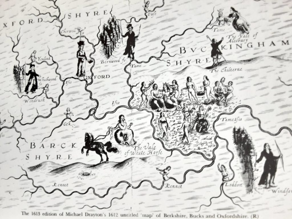
Map of Beds Bucks and Oxon 1612
By Michael Drayton
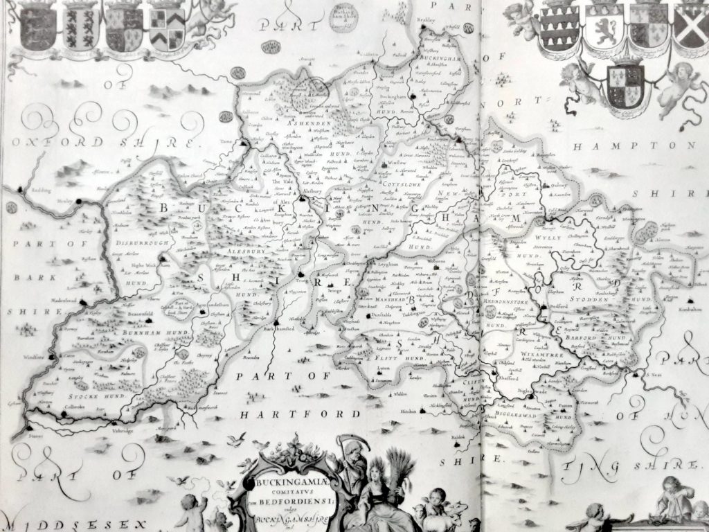
Parts of Buckinghamshire and Bedfordshire 1646
By Jan Jansson
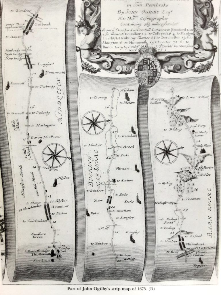
Road map of Buckinghamshire 1675
By John Ogilby
Street Map of Buckingham 1729
By Pierre Vander
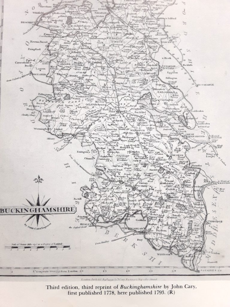
Map of Buckinghamshire 1778
By John Carey
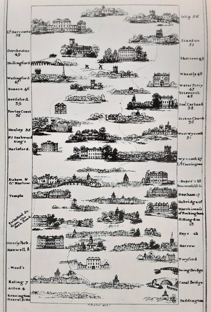
Buckinghamshire: houses to stay 1802
The Imperial Guide by James Baker
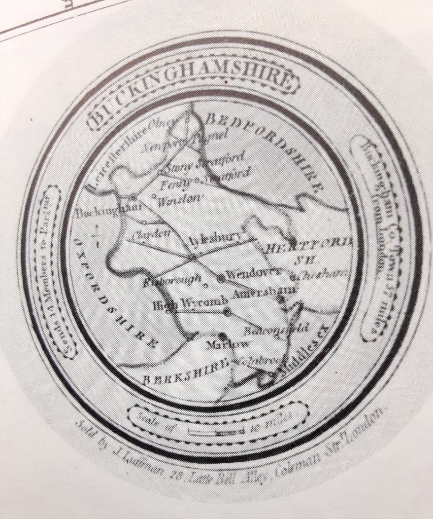
Circular map of Buckinghamshire 1803
By John Luffman
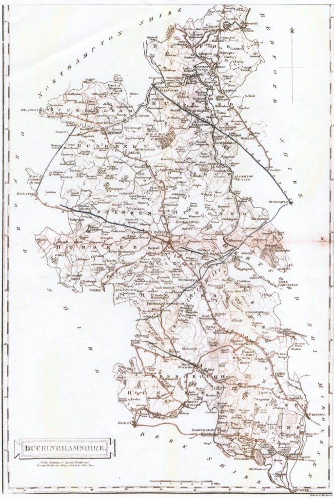
Map of Buckinghamshire 1805
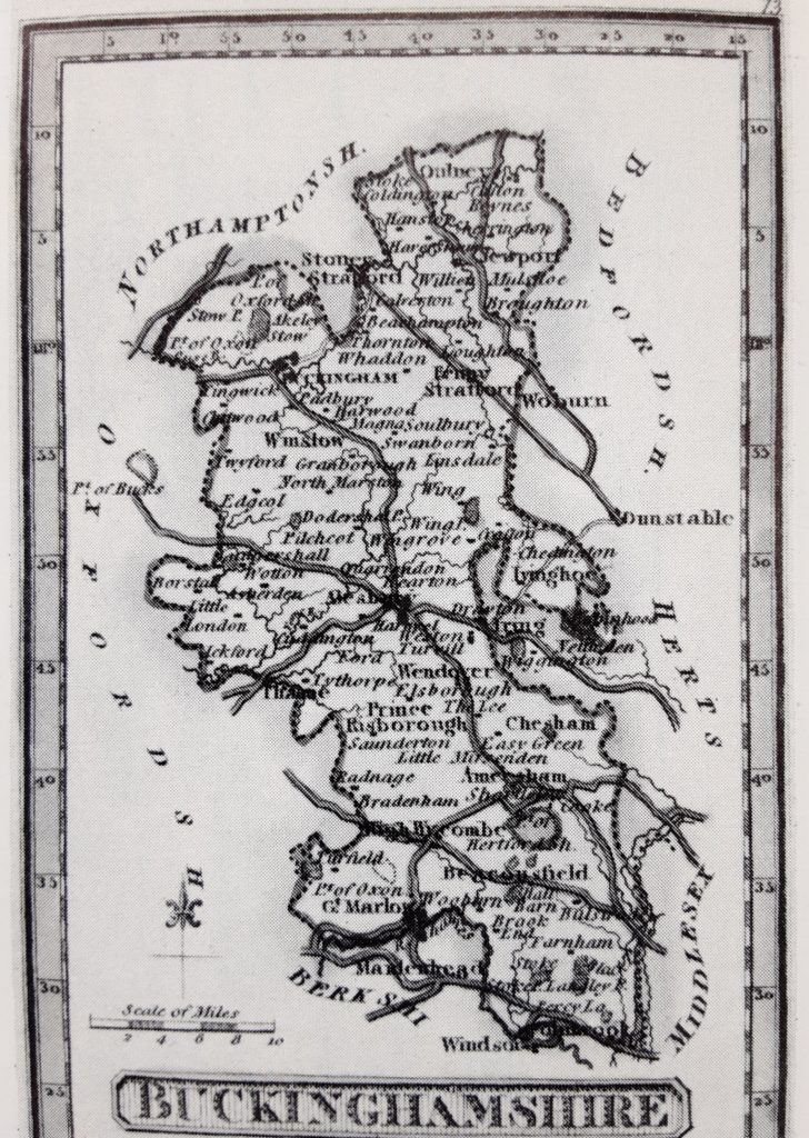
Map of Buckinghamshire 1820
By John Darton
Map 1825
By Andrew Bryant
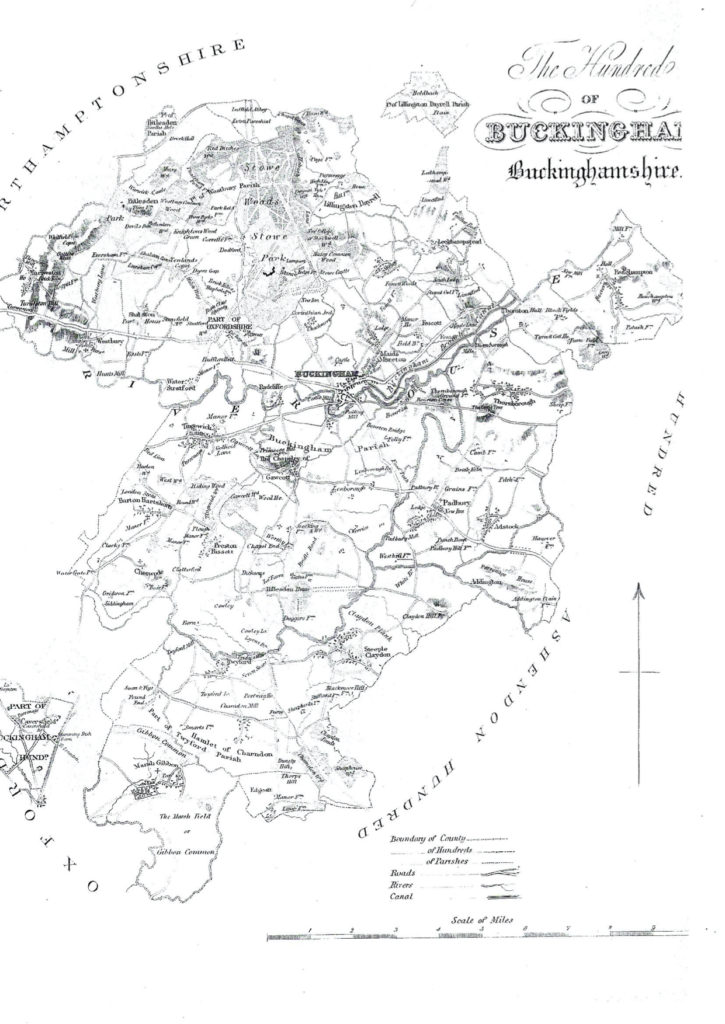
Map of Buckingham circa 1847
By George Lipscomb
Map 1850
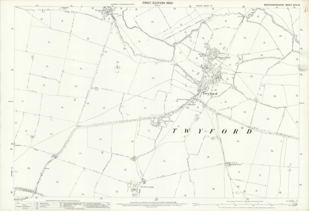
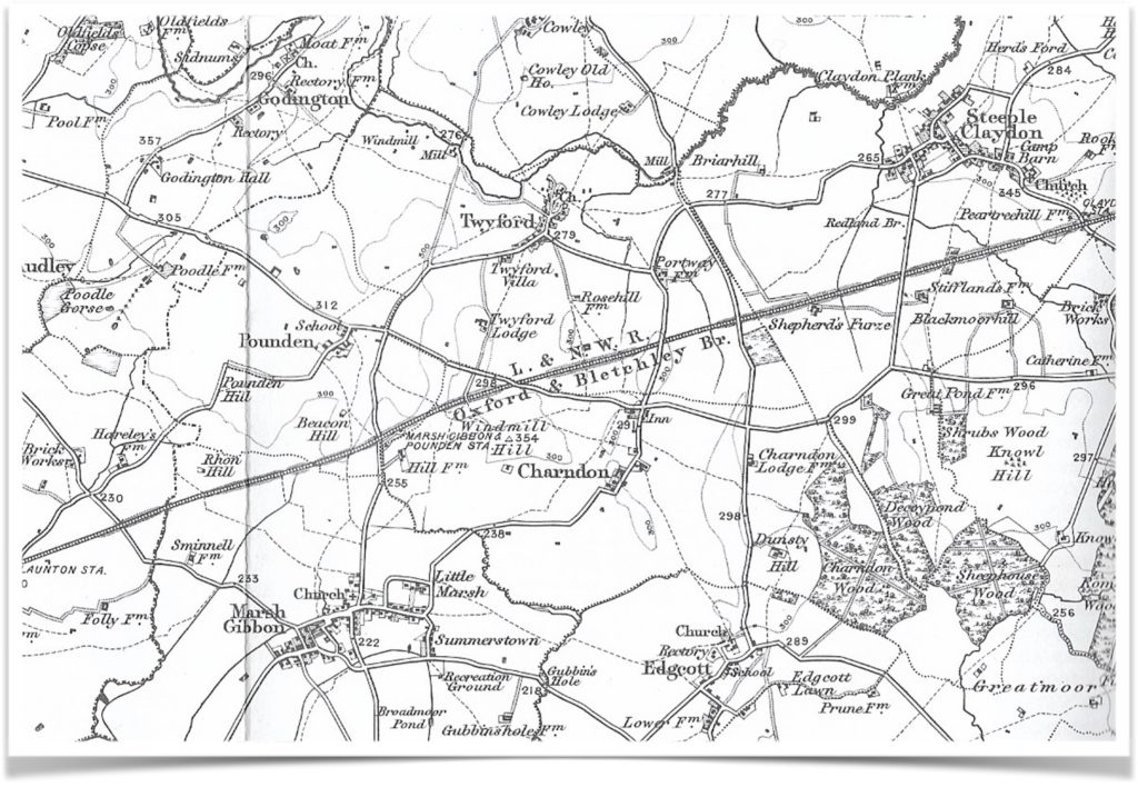
Twyford 1880
Source: National Library of Scotland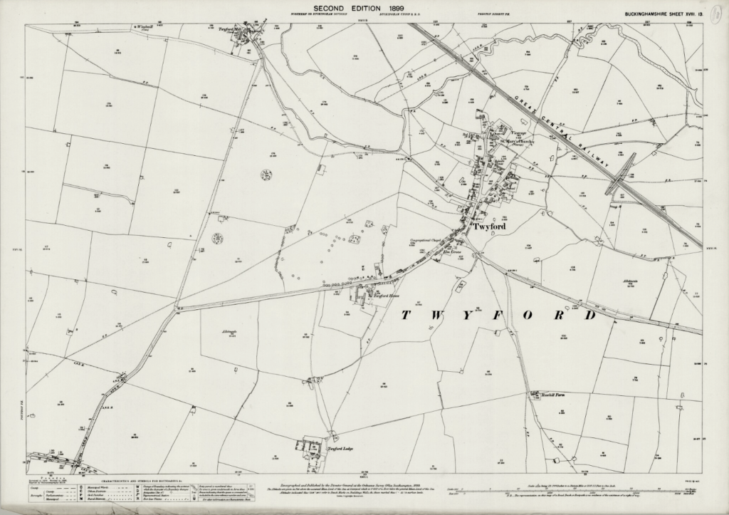
Twyford 1899
Source: National Library of Scotland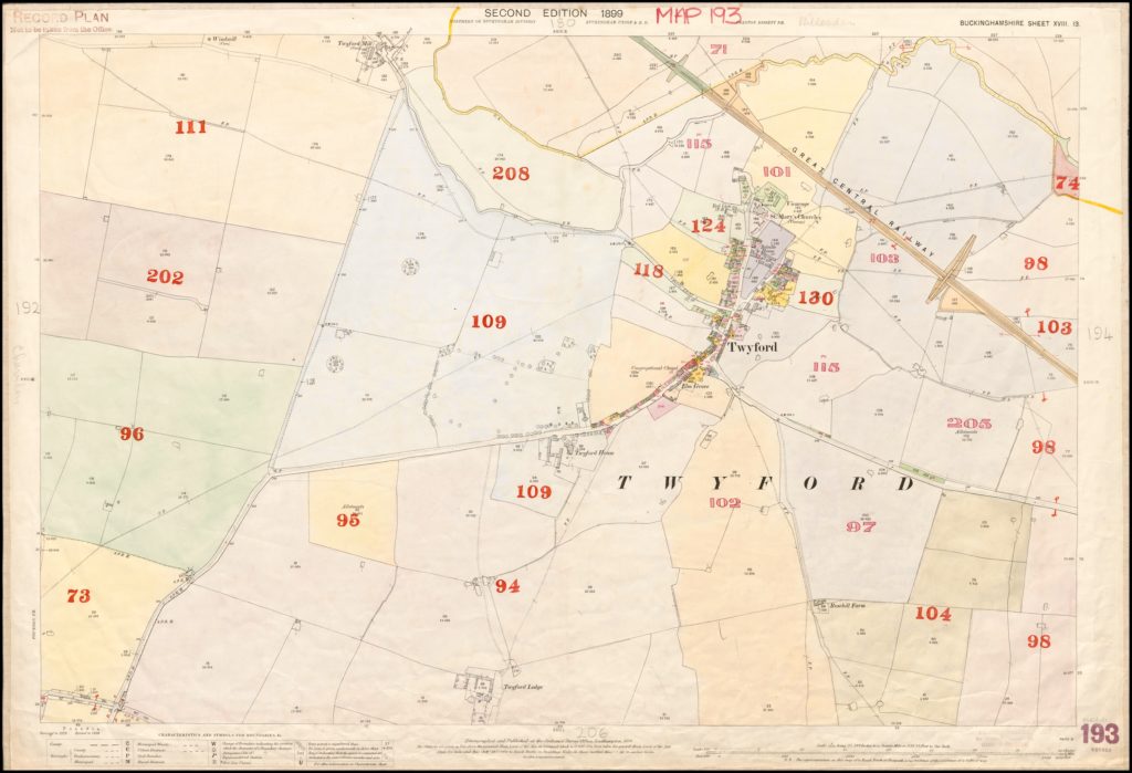
Twyford 1899
Alternate version
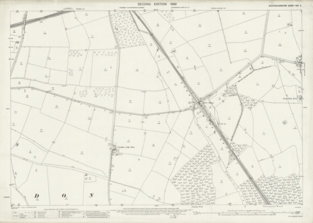
Calvert 1899
Source: National Library of Scotland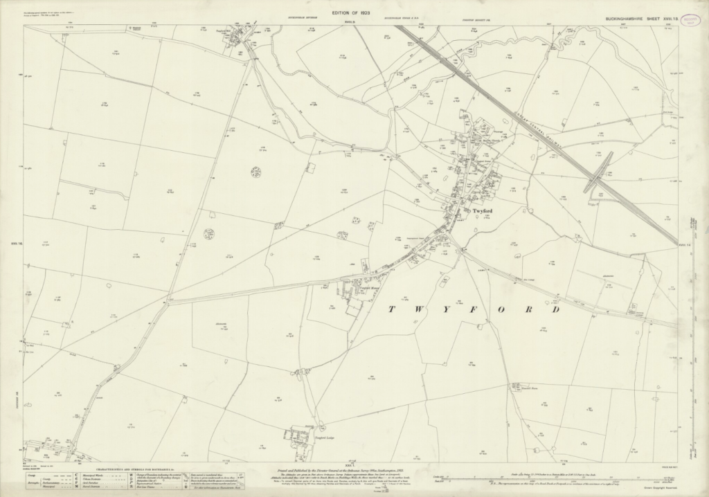
Twyford 1923
Source: National Library of Scotland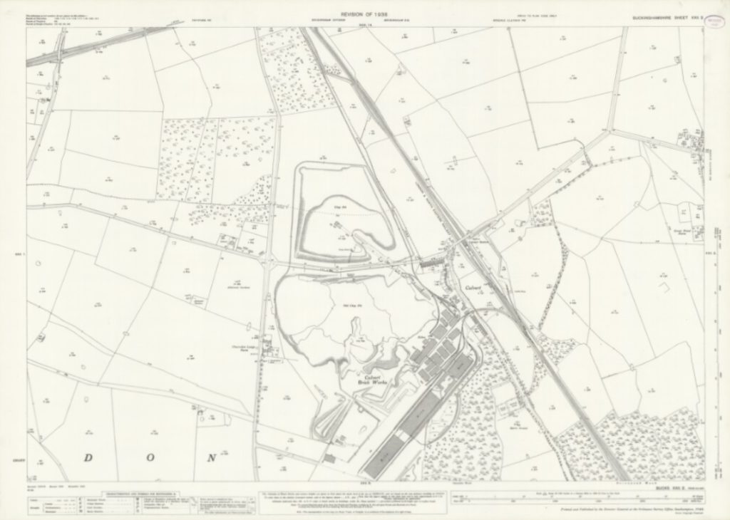
Calvert 1938
Source: National Library of Scotland